Bekaa Valley, Lebanon
The Bekaa Valley is Lebanon’s agricultural heartland, covering approximately 150,000 hectares, with 80% of the area irrigated for crops such as vegetables, cereals, and fruit trees. This region faces acute challenges from over-extraction of groundwater, pollution (notably nitrogen contamination), and outdated irrigation systems. Water scarcity has worsened due to climate variability and unsustainable agricultural practices, with significant declines in groundwater levels reported over the past decade.
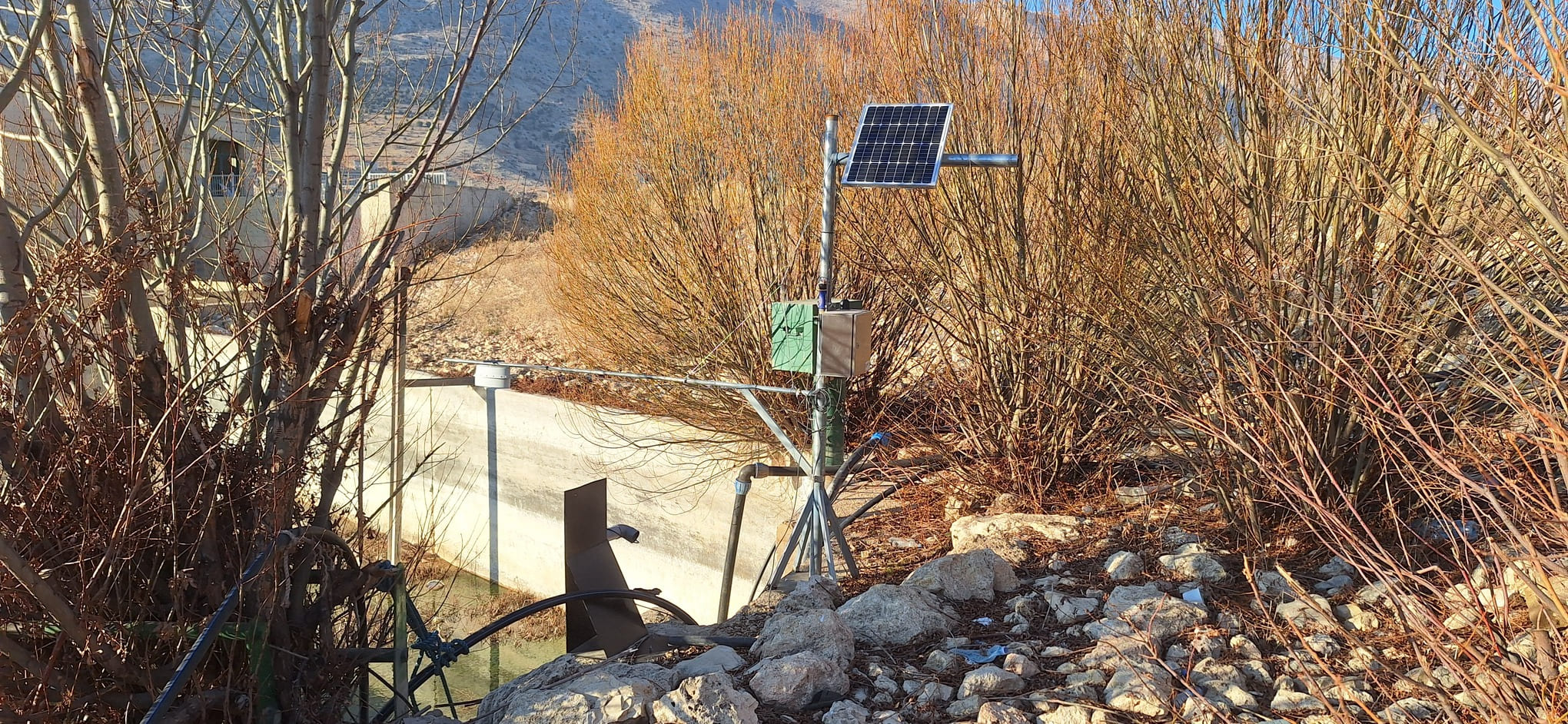
ACQUAOUNT is implementing its tools across five pilot sites in the Upper Litani River Basin (ULRB), Lebanon’s main freshwater source, which supports around 42% of the country’s agricultural production. The project has deployed soil moisture sensors at farms in West Bekaa, North Bekaa, and Mid-Bekaa, as well as groundwater monitoring systems at a deep borehole in Kfardan and lake-level and water quality sensors at Yammouneh Lake. This combined setup enables real-time monitoring of soil moisture, groundwater depth, and water quality parameters like salinity, dissolved oxygen, turbidity, and nutrient content.
One tangible result is improved irrigation scheduling at pilot farms, where farmers have reported reduced water use and improved crop yields. The integration of ACQUAOUNT data with the Bekaa Water Establishment’s operations strengthens basin-wide water management and planning, aiming to alleviate pressure on fragile water resources and enhance water productivity across the basin.
Abbass Abdallah, farmer at Sariine area: “Since we installed the soil moisture sensors on my farm through the project, I have seen a huge improvement in water management. The sensors help me know exactly when and how much to irrigate, which has not only saved water but also reduced my costs. I am using less water, and the crops are thriving, so it has been a win-win for both the environment and my farm’s productivity”.